Sarasota Faces Final Rainy Stretch Before Dry Weekend Arrives
Friday will be the wettest day before high pressure brings sunny skies by Saturday, while a low pressure system near the Bahamas is monitored by the National Hurricane Center.
By Nia Foster ·
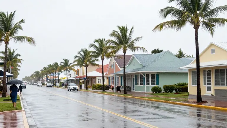
High pressure is moving into the Gulf of Mexico, bringing drier air and clearing skies to the Sarasota area by Saturday. This shift ends a week of persistent moisture that has saturated the region.
The wet weather stems from a stalled front that has kept precipitation chances elevated since Tuesday. The area received more than 3 inches of rain on that day. Scattered showers and storms will continue through Friday. The National Weather Service forecasts a 40% chance of rain for both Wednesday and Thursday. Friday will see the highest probability, ranging from 50% to 60%, with localized downpours that may cause flooding in low-lying areas.
Temperatures will remain mild during the wet period. Lows will be near 68 degrees on Wednesday night. Highs will reach 80 degrees on Thursday and 79 degrees on Friday. Conditions will improve sharply on Saturday, which will be partly sunny with a high near 80 degrees and only a slight chance of a morning shower. The dry spell will continue through Sunday and Monday, with highs near 78 degrees.
Marine conditions remain challenging through the week. Small Craft Advisories are in effect for Tampa Bay and coastal waters through Thursday. East-northeast winds are blowing at 20 to 25 knots. These conditions are expected to ease by the weekend.
Meteorologists at the National Hurricane Center are monitoring a low pressure system forming near the northern Bahamas. The system has a 40% chance of development over the next seven days. Forecasters expect it to track north or northeast, moving away from Florida.